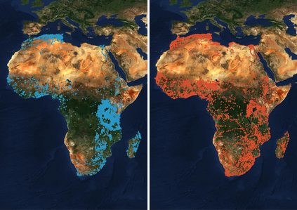
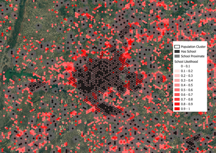
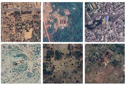
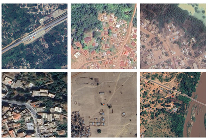
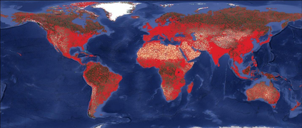
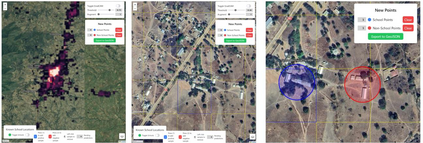
This paper presents a multi-tiered human-in-the-loop framework for interactive school mapping designed to improve the accuracy and completeness of educational facility records, particularly in developing regions where such data may be scarce and infrequently updated. The first tier involves a machine learning based analysis of population density, land cover, and existing infrastructure compared with known school locations. The first tier identifies potential gaps and "mislabelled" schools. In subsequent tiers, medium-resolution satellite imagery (Sentinel-2) is investigated to pinpoint regions with a high likelihood of school presence, followed by the application of very high-resolution (VHR) imagery and deep learning models to generate detailed candidate locations for schools within these prioritised areas. The medium-resolution approach was later removed due to insignificant improvements. The medium and VHR resolution models build upon global pre-trained steps to improve generalisation. A key component of the proposed approach is an interactive interface to allow human operators to iteratively review, validate, and refine the mapping results. Preliminary evaluations indicate that the multi-tiered strategy provides a scalable and cost-effective solution for educational infrastructure mapping to support planning and resource allocation.
翻译:暂无翻译