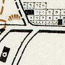
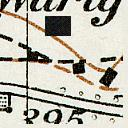
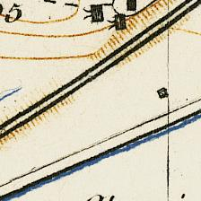
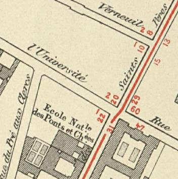
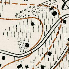
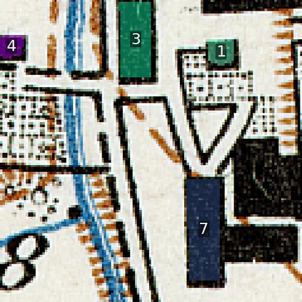
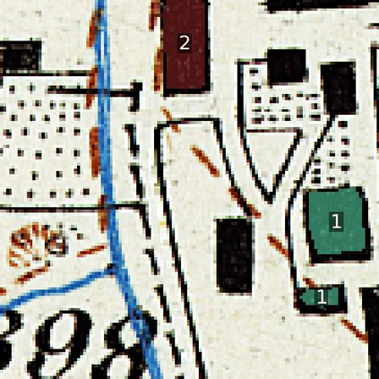
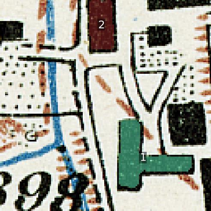
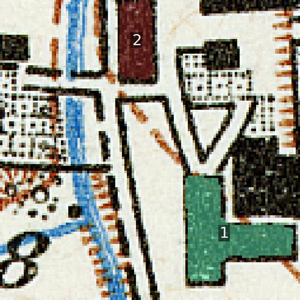
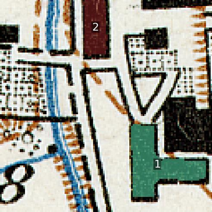
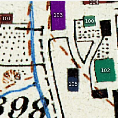
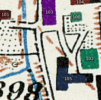
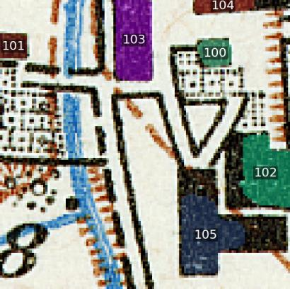
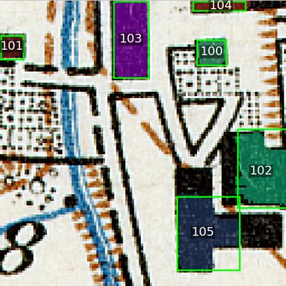
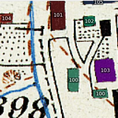
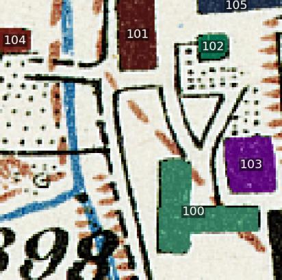
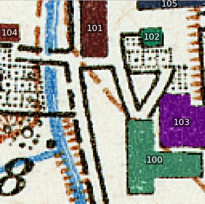
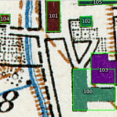
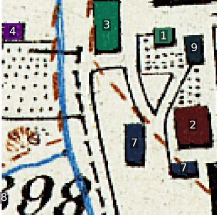
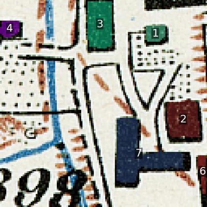
Historical maps are unique and valuable archives that document geographic features across different time periods. However, automated analysis of historical map images remains a significant challenge due to their wide stylistic variability and the scarcity of annotated training data. Constructing linked spatio-temporal datasets from historical map time series is even more time-consuming and labor-intensive, as it requires synthesizing information from multiple maps. Such datasets are essential for applications such as dating buildings, analyzing the development of road networks and settlements, studying environmental changes etc. We present MapSAM2, a unified framework for automatically segmenting both historical map images and time series. Built on a visual foundation model, MapSAM2 adapts to diverse segmentation tasks with few-shot fine-tuning. Our key innovation is to treat both historical map images and time series as videos. For images, we process a set of tiles as a video, enabling the memory attention mechanism to incorporate contextual cues from similar tiles, leading to improved geometric accuracy, particularly for areal features. For time series, we introduce the annotated Siegfried Building Time Series Dataset and, to reduce annotation costs, propose generating pseudo time series from single-year maps by simulating common temporal transformations. Experimental results show that MapSAM2 learns temporal associations effectively and can accurately segment and link buildings in time series under limited supervision or using pseudo videos. We will release both our dataset and code to support future research.
翻译:暂无翻译